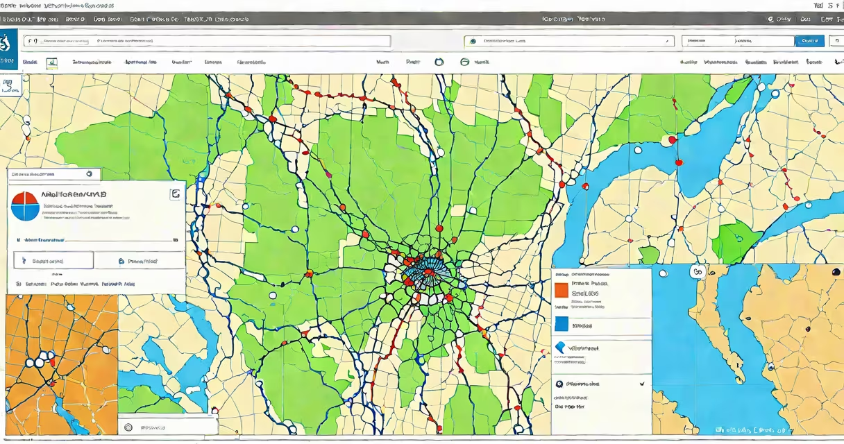
ArcGIS Online resources are cloud-hosted tools, datasets, maps, and applications built and managed within Esri's ArcGIS platform. They enable users to create, share, and analyze geographic information across devices and teams without installing software.
These resources include web maps, web scenes, feature layers, tile layers, and operational dashboards. All are stored in the cloud and accessible via a browser or mobile app. They support real-time updates, role-based access, and integration with external data sources such as APIs, CSV files, and databases.
For example, a city planning department uses ArcGIS Online resources to publish a live traffic congestion map. This map pulls real-time GPS data from connected vehicles and displays it on a basemap updated every 30 seconds. Team members across departments can view the map, comment on hotspots, and adjust routing plans-all through a shared URL.
When you create a resource in ArcGIS Online, it becomes part of a centralized geospatial repository. Each resource has a unique URL, metadata, and permissions settings. You can set who can view, edit, or share it-down to individual users or entire groups.
Resources are rendered dynamically in a web browser using WebGL and JavaScript libraries. This allows complex visualizations-like heatmaps of population density or animated time-series maps-to load quickly without requiring high-end hardware. Data is processed server-side, reducing client-side load and ensuring consistent performance.
For instance, a conservation group tracking endangered bird migration uses a time-enabled layer in ArcGIS Online. As new sightings are added via a mobile app, the map automatically updates. A team member in Nairobi can see the latest movement patterns while a researcher in Seattle reviews historical data-all in real time.
There are several core types of resources available in ArcGIS Online. Each serves a distinct purpose in spatial analysis and communication.
| Type | Purpose | Example Use Case |
|---|---|---|
| Web Map | Displays layers and symbology for thematic or navigational purposes | City officials show flood risk zones during storm season |
| Feature Layer | Stores editable vector data (points, lines, polygons) with attributes | Utility company tracks power outage locations by neighborhood |
| Tile Layer | Pre-rendered map images optimized for fast display | Emergency responders use a satellite basemap to assess wildfire spread |
| Web Scene | 3D visualization of terrain, buildings, and volumetric data | Urban planners simulate sunlight exposure on proposed skyscrapers |
| Dashboard | Combines multiple visualizations into a single monitoring interface | Public health agency tracks disease incidence across counties |
Each resource type supports different levels of interactivity. Web maps allow filtering and pop-up details. Feature layers support editing and attribute updates. Dashboards integrate charts, tables, and maps into a single view.
Organizations across government, education, environmental science, and business rely on ArcGIS Online resources for decision-making. They're used to monitor infrastructure, respond to crises, plan development, and communicate findings.
The U.S. Geological Survey (USGS) uses ArcGIS Online resources to publish real-time earthquake data. Their public-facing web map shows magnitude, location, and time of each event. Users can filter by date range or region. This system processes over 10,000 seismic events annually and updates within five minutes of detection.
Another example: a school district in Texas created an interactive map to track student transportation routes. The map includes bus stop locations, estimated arrival times, and real-time delays. Parents receive alerts via email when their child's bus is late. The district reports a 40% reduction in missed pickups since implementation.
ArcGIS Online resources are not limited to experts. Non-GIS staff can use templates and wizards to build functional maps in under 15 minutes. Esri's official documentation notes that "over 60% of new ArcGIS Online users complete their first map without formal training."
Many assume ArcGIS Online resources are only for professionals or require advanced coding. That's incorrect. While developers can extend functionality with APIs, most users interact through a point-and-click interface.
Another misconception is that these resources are static. In reality, they update automatically when underlying data changes. For example, a weather service map showing storm paths refreshes every 10 minutes based on incoming radar feeds. The map doesn't need to be rebuilt-it simply redraws with new data.
A less obvious point: not all resources are publicly accessible. By default, new resources are private. Sharing requires explicit permission settings. This prevents accidental exposure of sensitive data-such as military installations or private property boundaries.
I've personally built a resource for a local nonprofit tracking food insecurity. Using a template from the ArcGIS Living Atlas, I imported census data and overlaid food pantry locations. Within two hours, I had a working map with filters for income level and proximity. The organization now uses it to allocate supplies and apply for grants.
Start with a base map, then add layers. You can upload data from Excel, Shapefiles, or connect to a database. Once published, share the link with others or embed it in a website.
Use the built-in analytics to track views, edits, and sharing activity. This helps measure impact and improve content over time.
arcgis online resources provide a flexible, secure way to manage and present spatial data. managing emergency response, these tools deliver actionable insights in real time.