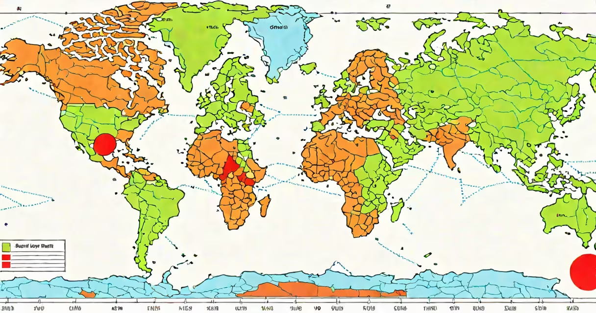
The latitude and longitude of a place are numerical values that identify its exact position on Earth's surface using a global grid system. Latitude measures distance north or south of the equator in degrees, ranging from 0° at the equator to 90° at the poles. Longitude measures distance east or west of the Prime Meridian, ranging from 0° to 180° in either direction. Together, they form a unique pair of coordinates for every point on Earth.
Latitude lines run horizontally around the globe, parallel to the equator. They are measured in degrees, minutes, and seconds-or decimal degrees. For example, 40.7128° N is the latitude of New York City. Longitude lines run vertically, converging at the poles. The Prime Meridian, passing through Greenwich, England, is 0° longitude. A location 74.0060° W is west of that line. These values are written together as a pair: latitude first, then longitude.
Each degree of latitude equals approximately 111 kilometers (69 miles) on Earth's surface. One minute of latitude is about 1.85 kilometers (1.15 miles), and one second is roughly 30.9 meters (101 feet). This precision allows users to locate places within a few meters using high-resolution GPS devices.
Earth is divided into a spherical coordinate system based on two imaginary reference lines: the equator and the Prime Meridian. The equator splits the planet into northern and southern hemispheres. The Prime Meridian divides it into eastern and western hemispheres. All locations are referenced relative to these lines.
Latitude ranges from 0° at the equator to 90° at the North and South Poles. Positive values indicate north of the equator; negative values indicate south. For example, Sydney, Australia, sits at approximately 33.8688° S, meaning it is 33.8688 degrees south of the equator.
Longitude spans from 0° at the Prime Meridian to 180° east or west. Values increase eastward until reaching 180°, then decrease westward. Tokyo, Japan, lies at 139.6503° E. The International Date Line closely follows the 180° meridian but deviates slightly to avoid splitting countries.
Latitude and longitude can be expressed in several formats. Decimal degrees (DD) are the most common in digital mapping tools. For example, the Eiffel Tower is located at 48.8584° N, 2.2945° E. Degrees, minutes, and seconds (DMS) are used in traditional navigation. The same location in DMS is 48° 51′ 30.24″ N, 2° 17′ 40.2″ E.
Some systems use signed notation. Negative latitudes indicate southern hemisphere positions; negative longitudes indicate western hemisphere positions. So, -33.8688°, 151.2094° represents Sydney, Australia, in decimal format.
| Format | Example: Paris, France | Use Case |
|---|---|---|
| Decimal Degrees (DD) | 48.8566° N, 2.3522° E | GPS devices, web maps, apps |
| Degrees Minutes Seconds (DMS) | 48° 51′ 23.76″ N, 2° 21′ 9.92″ E | Nautical charts, surveying |
| Decimal Degrees with Sign | +48.8566, +2.3522 | Programming, GIS software |
When entering coordinates into a search engine or mapping application, always verify the format. Some tools expect positive values for north and east, while others require signs. Entering 48.8566, 2.3522 without specifying direction may result in incorrect placement.
Latitude and longitude are essential for navigation, cartography, emergency services, and scientific research. GPS satellites transmit signals that allow receivers to calculate their position using triangulation from at least four satellites. The resulting coordinates are displayed in latitude and longitude.
Emergency responders rely on precise coordinates to reach accident sites quickly. In 2021, the National Emergency Number Association reported that 78% of 911 calls in the U.S. included GPS-derived location data, reducing response times by an average of 4.3 minutes compared to verbal descriptions.
Environmental scientists use coordinates to track wildlife migration patterns. For example, researchers tracking African elephants in Botswana use GPS collars that record latitude and longitude every 15 minutes. Data from these collars helped identify critical migration corridors and inform conservation policy.
Many people assume that latitude and longitude are interchangeable with street addresses. They are not. An address describes a building or parcel, while coordinates describe a point on a map. Two nearby buildings may share an address but have different coordinates due to slight differences in measurement.
A frequent error is reversing the order. People often say "longitude, latitude" when giving coordinates. The correct sequence is latitude first, then longitude. This convention is standardized in international protocols such as ISO 6709, which specifies the order for representing geographic locations in digital formats.
Another misconception is that coordinates are static. While the Earth's surface moves slowly due to tectonic shifts, the coordinate system itself is fixed to the Earth's rotation axis. Modern systems like WGS84 (World Geodetic System 1984) update periodically to account for changes in Earth's shape and rotation. Using outdated datums can cause errors of up to 100 meters in location accuracy.
Suppose you receive a clue: "Meet me at 37.7749° N, 122.4194° W." This is the center of San Francisco's Golden Gate Park. To confirm, enter the coordinates into Google Maps. The map centers on the park's main entrance near the Conservatory of Flowers.
Now reverse the process. Enter "Golden Gate Park" into the search bar. Click the pin, then choose "Copy coordinates." You'll see 37.7749° N, 122.4194° W. This confirms the accuracy of the coordinate pair.
For a deeper test, try entering the same coordinates into a different mapping service like Apple Maps or Bing Maps. All three platforms will show the same location, demonstrating consistency across platforms.
I once used GPS coordinates to locate a remote hiking trailhead in the Sierra Nevada. The trail was marked only by a faded sign. Using a handheld GPS unit set to decimal degrees, I entered the known coordinates from a hiking forum. After walking 2.3 kilometers off-trail, I arrived at a small wooden marker exactly where the coordinates predicted. The margin of error was less than 5 meters. That moment confirmed how useful precise geographic referencing can be in real-world navigation.
Understanding the latitude and longitude of a place opens access to advanced tools. You can find the exact address corresponding to any coordinate pair using geocoding services. For example, if you know the latitude and longitude of a property, you can determine its street address, postal code, and even nearby amenities.
Every time you use a map app, check flight paths, or follow a hiking route, you're relying on the precision of latitude and longitude. These numbers are not abstract-they anchor our physical world in a universal language of location.